BATAM NEWS TODAY
North Maluku Shaken by Two Earthquakes, Measuring of 7.4 Magnitude and Potential for Tsunamis
The first earthquake (7.4) was at a depth of 10 kilometers, while the second earthquake (7.1) was at a depth of 73 kilometers.
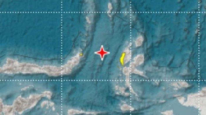
TRIBUNBATAM.id - An earthquake with magnitudes of 7.4 and 7.1, shook North Maluku on Thursday (11/14) midnight, 23:17:41 West Indonesia Time and the second earthquake was two minutes later.
The Metereology, Climatology and Geophysics Department (BMKG) through its official Instagram account said that the earthquake had the potential to cause a tsunami.
The two earthquakes with different depths. The first earthquake (7.4) was at a depth of 10 kilometers, while the second earthquake (7.1) was at a depth of 73 kilometers.
• Batam Aero Technic (BAT) Collaborates with Five Leading Companies
• Increasing the Competence, Tanjungpinang Pemko Holds the Guidance for Qori/Qoriah and Hafiz/Hafizah
The epicenter of the earthquake occurred at the coordinates of 1.63 LU (North Latitude), 126.40 East longitude (East Longitude), precisely 134 km West of Sea Jailolo, North Maluku.
Areas with potential tsunamis based on modeling, according to BMKG, are Halmahera and Bitung City (North Sulawesi) and Ternate City (North Maluku) with the status of Alert.
BMKG said that they were still monitoring the tides in the waters.
• Pemain Arema FC Makan Konate Puji Bobotoh saat Main di Bandung, Bakal Balik ke Persib?
• Usai Suami Ngebom Polrestabes Medan, Terungkap Istri Pelaku Bom Bunuh Diri Sasar Bali
• Disinggung soal Status Ahok yang Mantan Napi, Tak Disangka Ini Jawaban Menteri BUMN Erick Thohir?
• BERITA PERSIB - Masih Kantongi 7 Laga Tersisa, Ini Mimpi Besar Persib Bandung di Akhir Musim 2019


